Mt. Juliet Planning Services Move Online With New Self-Service Portal |
Residents and project applicants now have another digital route for permits, submissions and development information |

Mt. Juliet’s Planning and Zoning Department has moved more of its public-facing work online with a self-service portal for permits and project submissions.
The portal gives residents, property owners, builders and other applicants a clearer digital starting point for planning-related business that once depended more heavily on phone calls, email or an office visit.
The department handles a wide range of requests, including annexation, zoning questions, site plans, subdivisions, home occupation permits, sign permits, planned unit developments and temporary or special-event permits.
For a fast-growing city, easier access to those records and processes matters beyond the applicant filing paperwork.
Neighbors often want to know what is being proposed near their homes, which projects are moving forward and where to look when a familiar property begins to change.
The self-service portal now sits alongside several other city tools that help residents answer those questions.
The Mt. Juliet Development Tracker is especially useful because it gives the public a way to follow development activity around the city.
City GIS resources also include parcel and property information, zoning maps, future land-use material, transportation maps, flood information, parks and greenways data, and public-works project dashboards.
Those tools do not replace the details contained in an application, staff report or public hearing, but they can make the first step much easier.
Residents can use the maps to identify a property, understand its zoning and then follow up with planning staff when a proposal raises additional questions.
The city also posts Planning Commission and Board of Zoning Appeals calendars and application material, which can help residents understand when projects may move through formal review.
One practical note is especially important right now: the Planning Department has posted a warning about scams involving people posing as local planning or zoning officials and demanding fraudulent fees.
The city says legitimate planning payments are accepted in person or through the official project portal and that staff will not demand wire transfers.
Residents should verify suspicious payment requests directly with the department rather than relying on contact information included in an unexpected email.
Planning staff work from the city office on Clemmons Road during weekday business hours.
For residents following a nearby project, the best approach is usually to start with the property and project information, then check meeting agendas or public-hearing notices if formal review is involved.
That sequence helps separate a preliminary idea from a proposal that is actually moving through the city’s approval process.
It also gives residents a better foundation for questions about traffic, land use, access, neighborhood compatibility or timing.
When questions remain, contacting planning staff with a specific parcel or project reference is generally more productive than asking about a vague location.
Using the portal and GIS tools together can improve both public understanding and the quality of the questions residents bring to city staff or public meetings.
The broader takeaway is that Mt. Juliet residents now have a stronger set of online tools for understanding permits, zoning and development.
That access can help turn a vague question like “What are they building there?” into a more informed look at the actual project and review process.
Around Mount Juliet will use these public tools as part of its development coverage and continue translating official planning information into practical updates for local readers. |
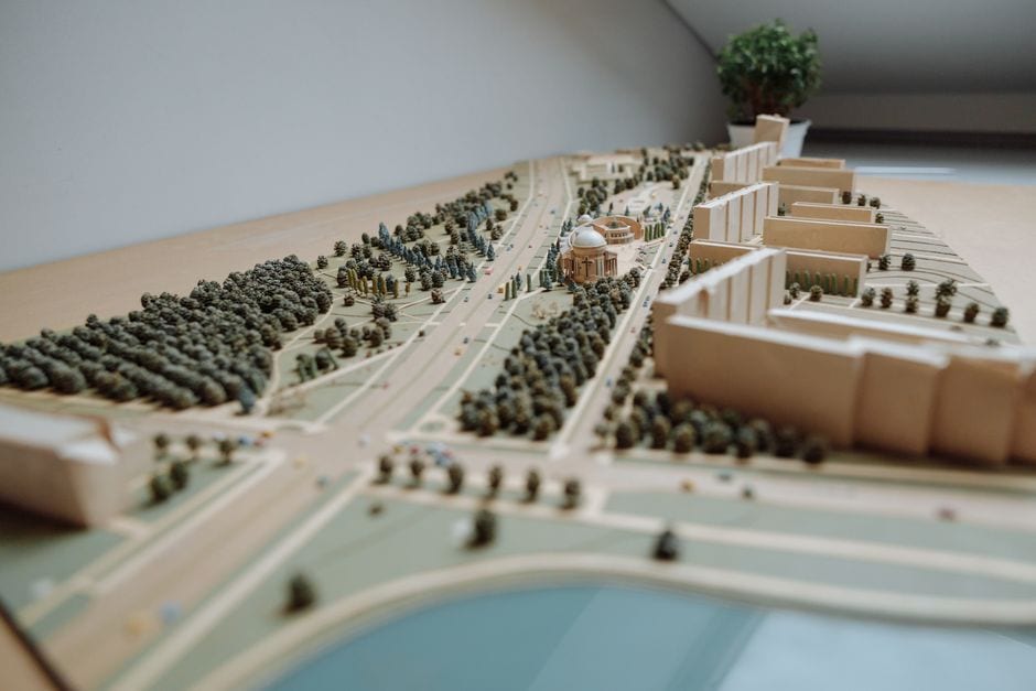 Illustrative urban planning image; not a Mt. Juliet development. Photo by Thirdman on Pexels |




3 Comments
Join the conversation
The city is warning residents about fraudulent planning and zoning payment requests. Have you seen anything suspicious that others should know to watch for?
What development or zoning question would you like us to explain in a future Around Mount Juliet story?
Have you used the city’s Development Tracker or GIS tools before? What information were you trying to find?